

Funders & affiliations



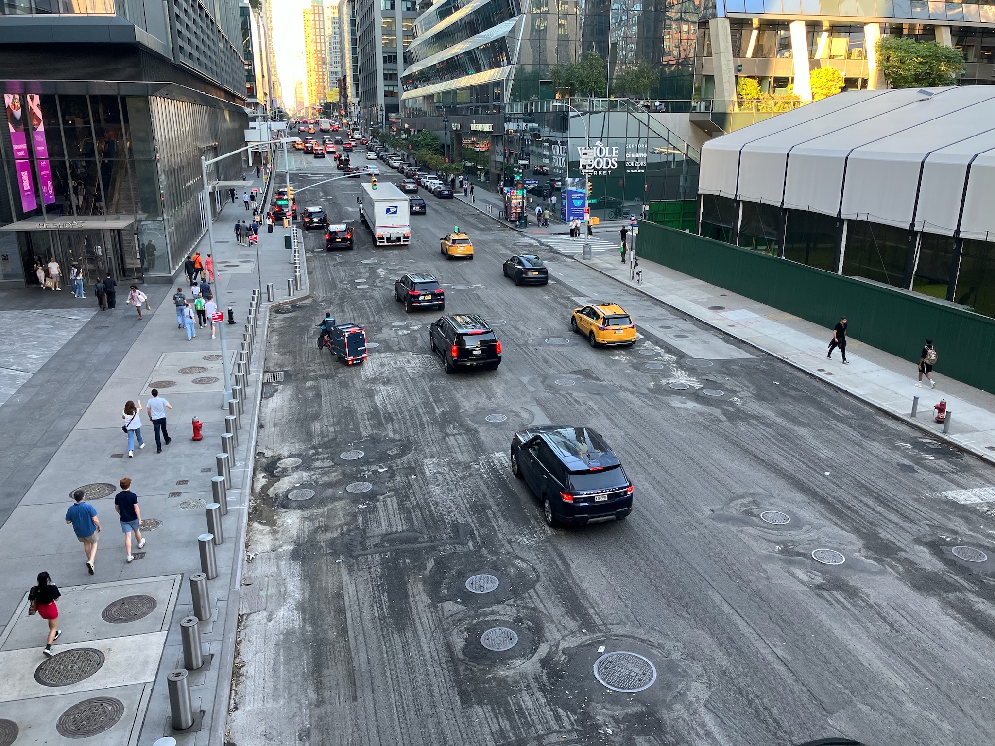
§1Mission Streets, redesigned by the people who use them
Communities know their streets need change but have no way to independently create the technical maps that city planners need to move projects forward.
We're developing a free and open-source platform where community members can propose and vote on bike lane, sidewalk, roadway, parking, and greenway improvements following NYC Street Design Manual guidelines.
Each proposal generates downloadable design drawings and maps from community-driven input that anyone can submit to DOT, share with community boards, or use for local organizing.
§2Demo City Edit: local knowledge, drawn to scale
City Edit is our interactive demo for community-driven street redesign. It lets users draw proposed infrastructure changes directly onto a map, placing bike lanes, sidewalks, greenways, and other streetscape elements on real city streets. Community members can sketch out the changes they want to see in their neighborhoods, vote on proposals from others, and generate shareable design maps that follow established urban planning guidelines. The tool turns local knowledge about where people actually walk, bike, and need safer infrastructure into the kind of technical visual proposals that city agencies can act on.
Open City Edit§3Newsletter Dispatches from the street
We write about what we're building, what we're learning from neighbors, and what happens when you hand people the tools to redraw their own block. Read it on Substack.
Latest post · October 13, 2026
An Abandoned Highway Off-ramp in New York?
What Should Exit 12N Become?
§4People Who we are
Eric Bolton
Software Engineering
Software engineer specializing in data visualization, collaborative platforms, and community consensus tools.
Brook Constantz
Urban Ecology
Urban ecologist with a background in forest restoration, geographic information systems, and green infrastructure.
Contact us: brook@sphericalharmonics.org · eric@sphericalharmonics.org
§5Acknowledgements Funding and affiliations
This project is funded by a Magic Grant from the Brown Institute for Media Innovation, a joint initiative of Stanford Engineering and Columbia Journalism School.
- Funded byBrown Institute for Media Innovation — Magic Grant, for the Desire Path Mapper.
- Coalition memberForest for All NYC — the coalition working to protect and grow New York City’s urban forest.
- Session selectedCityCamp NYC 2026, Hunter College — our session was voted for by attendees and selected for the unconference.
§6Gallery Figures 1–9, from the field